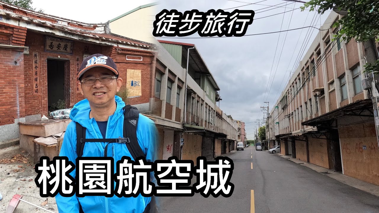
11公里「桃園航空城」徒步旅行,我用影像記錄即將消逝的風景。
11 kilometers travel by walking to “Taoyuan Aviation City”, I recorded the disappearing scenery with video.
本次旅行的交通資訊,請參考以下Google Map連結:
(Please refer to the following Google Map link for the traffic informatin )
www.google.com/maps/d/edit?mid=1KcoxMWg7BntT1iWjD4Coh60eMGbh4Xc&usp=sharing
【延伸閱讀】(Extended reading)
★更多的旅記, 歡迎造訪我的網站:
www.tonyhuang39.com/index1.html
【Tony著作的旅遊書, 歡迎訂購!】(Tony’s travel book, welcome to order)
《大台北宜蘭小村+步道 達人全程帶隊影音版 》
《大台北步道100影音增強版: PLUS達人全程帶隊 》
訂購網址:
www.tonyhuang39.com/book_tpeyilan.html
【影片製作相關設備及軟體】(Video production related equipment and software)
Gopro Hero 10 運動型攝影機 (攝影)
270-pro Backpack 碳纖維自拍桿 (自拍棒)
Relive app 3D GPS足跡 (行程記錄)
Power Director 15 威力導演 ( 剪接/字幕)
YouTube音效庫 (音樂)
PhotoImpact 13 (繪圖)
Google Map (交通地圖)
【音樂】(Music)
00:01 Oceanside Bonfire – The Great North Sound Society
02:54 Sweetly My Heart – Asher Fulero
05:50 Allegro – Emmit Fenn
07:51 Beneath the Moonlight
10:06 Laugh and Cry
12:39 Leaning on the Everlasting Arms – Zachariah Hickman